Industrial solutions company
The Best Reliable Industry Solution


About Us
Founded by experienced specialists, Cartograph LLC combines tradition and innovation in the field of geodesy and cartography. Our team includes licensed surveyors, GIS analysts, and drone operators. We are committed to accuracy, efficiency, and client satisfaction — whether working on land surveys, urban planning, or 3D modeling. Our mission: To make every centimeter count.
Topographic & Geodetic Surveys
UAV Mapping & Photogrammetry
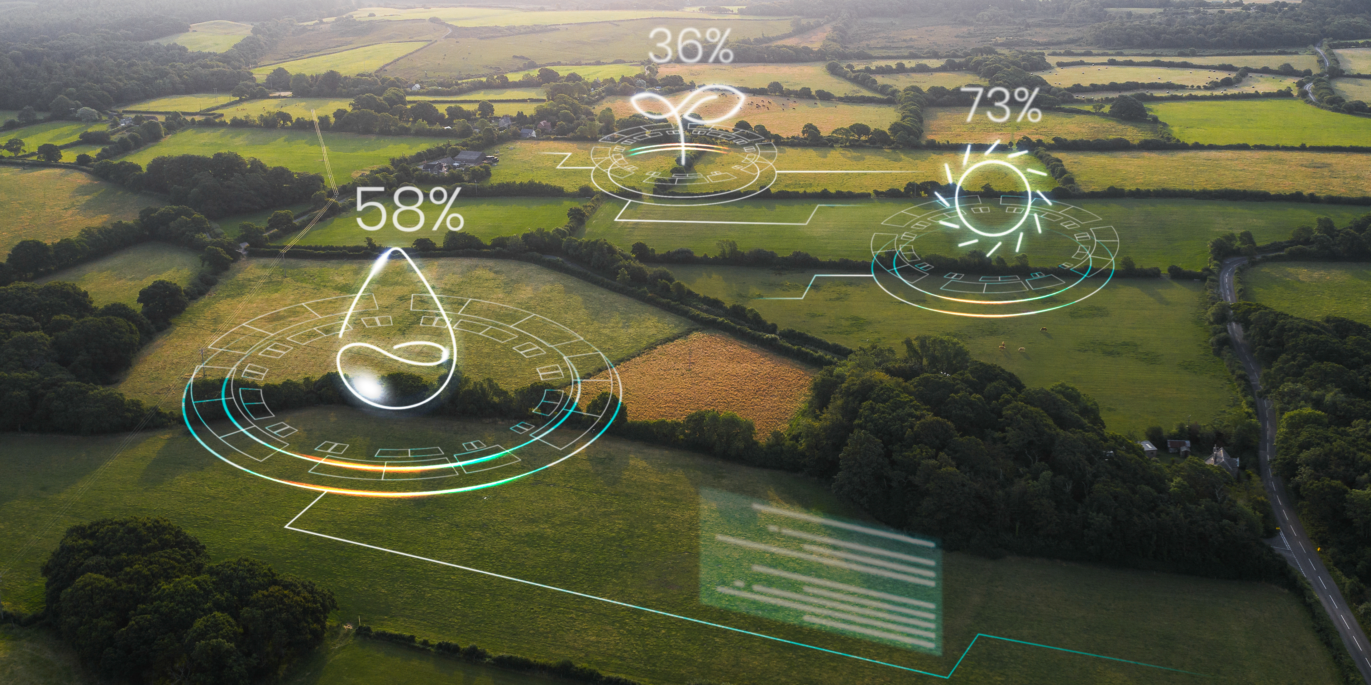
Agriculture & Multispectral Analysis/p>
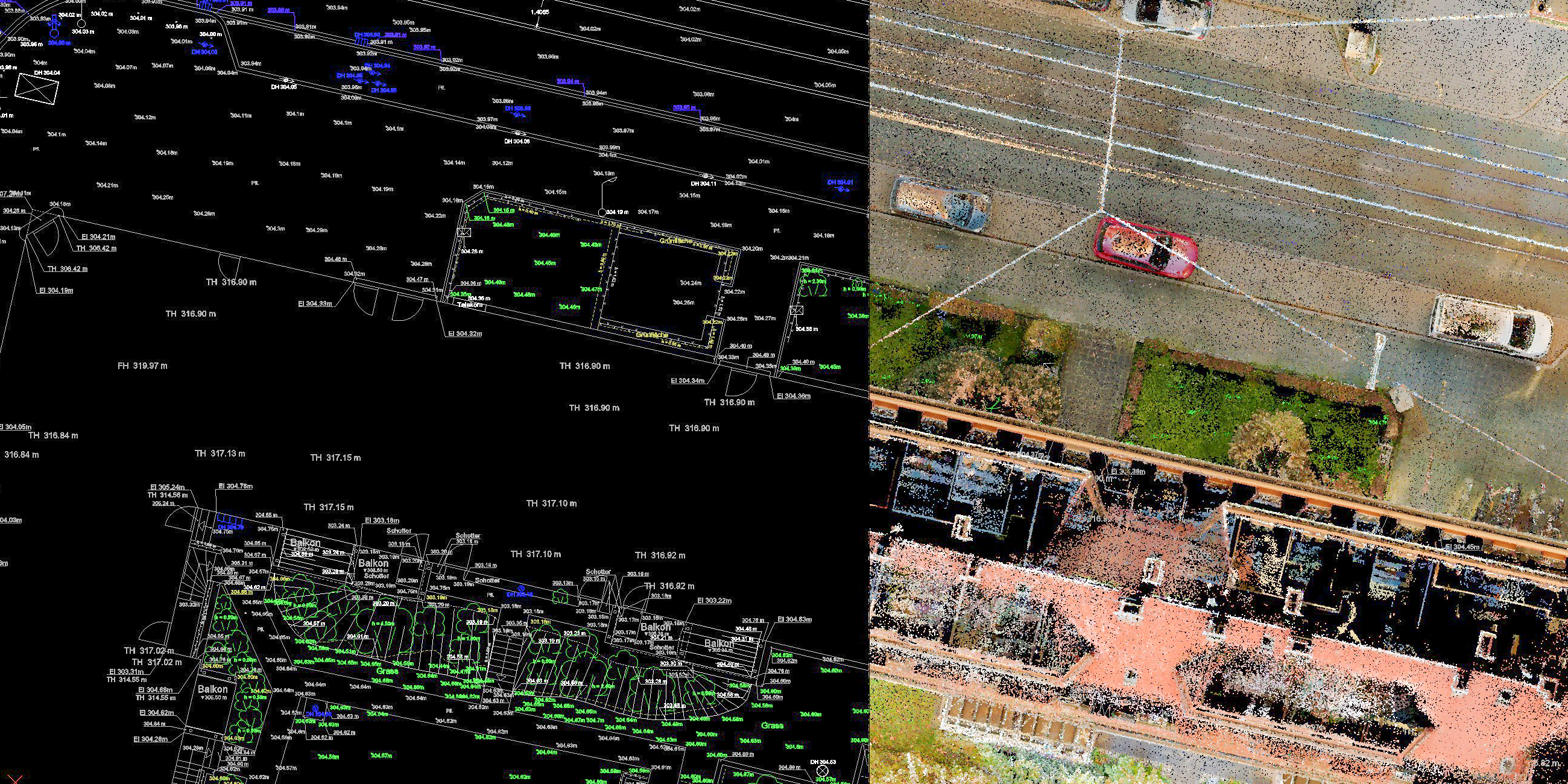
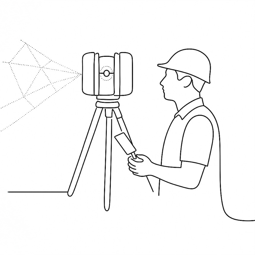
LiDAR Laser Scanning
Cadastre & Land Parceling
Email us
Call us
Our Services
High-accuracy surveys for land development, construction, and urban planning. Using tacheometers, total stations, and GNSS receivers, we create detailed plans, cross-sections, and elevation models according to national and international geodetic standards.
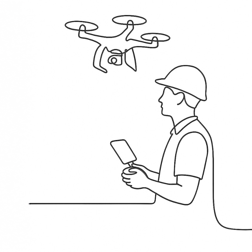
Aerial mapping with UAVs equipped with high-resolution cameras for orthophotos, 3D models, DTMs, and DSMs. Ideal for large or hard-to-reach areas, with fast, cost-effective results and centimeter-level accuracy.
Multispectral drone sensors monitor crop health, soil conditions, and vegetation indices. Remote sensing helps optimize irrigation, identify stress areas, and increase yields through vegetation maps and prescription maps.
Our Projects
Copyright © Cartograph, All Right Reserved.
Designed By՝ HTML Codex Distributed By:՝ ThemeWagon